


Home  GIS Layers Topographic Information - Digital Topographic Data: Geodata Topo 250K Series 3
| Topographic Information - Digital Topographic Data: Geodata Topo 250K Series 3 |
 |
 |
 |
| GIS Layers, Resources, Topographic Information | |||||||||||||||||||||||
| Monday, 18 January 2010 11:24 | |||||||||||||||||||||||
|
Description
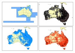
GEODATA TOPO 250K Series 3 is a dataset with the main topographic features developed on the 1:250 000 scale NATMAP.
GEODATA TOPO 250K Series 3 is accessible with the followings formats: Personal Geodatabase, ArcView Shapefile or MapInfo TAB file.
The data arranged in ten main themes are:
- cartography,
- elevation,
- framework,
- habitation,
- hydrography,
- infrastructure,
- terrain,
- transport,
- utility and
Geoscience Australia
Geoscience Australia is a prescribed agency within the Resources, Energy and Tourism portfolio
Use of GEODATA TOPO 250K Series 3 is subject to a licence, the full terms of which are contained within the package.
|
|||||||||||||||||||||||
| Last Updated on Wednesday, 17 November 2010 10:03 | |||||||||||||||||||||||

About Us
Funding
Resources
Noticeboard

