


Home  GIS Layers Topographic Information Topographic Information - Global Map Elevation of Australia 1M 2001
| Topographic Information - Global Map Elevation of Australia 1M 2001 |
 |
 |
 |
| GIS Layers, Resources, Topographic Information | |||||||||||||||||||||||||||||||||
| Monday, 18 January 2010 11:36 | |||||||||||||||||||||||||||||||||
|
Description
Global Map Australia 1M 2001 is a digital data package with two components, first the product user guide and second data files. The coverage area is the Australian landmass and island territories, at a 1:1 million scale.
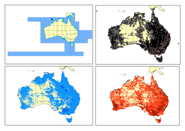
The dataset is integrated by eight layers; four vector and four raster, with the following information:
For more information visit: https://www.ga.gov.au/image_cache/GA3351.pdf

Geoscience Australia
Geoscience Australia is a prescribed agency within the Resources, Energy and Tourism portfolio
Unless otherwise noted, all Geoscience Australia material on this website is licenced under the Creative Commons Attribution 2.5 Australia Licence.
|
|||||||||||||||||||||||||||||||||
| Last Updated on Wednesday, 17 November 2010 10:03 | |||||||||||||||||||||||||||||||||
About Us
Funding
Resources
Noticeboard

